Examples Using the Route Manager
All of these Plugins and more are included in our Yearly Membership plan
- Created: March 6, 2023 3:13 pm
- Updated: March 7, 2023 4:32 pm
- Distance 76 km
- Duration 20 h 7 min
- AVG speed 4.0 km/h
- Min altitude 16 m
- Peak 845 m
- Climb 1306 m
- Descent 1313 m
- Distance Instructions
- Travel mode
- direct


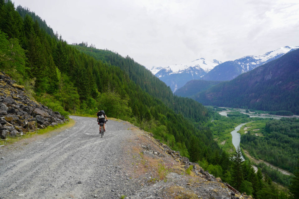
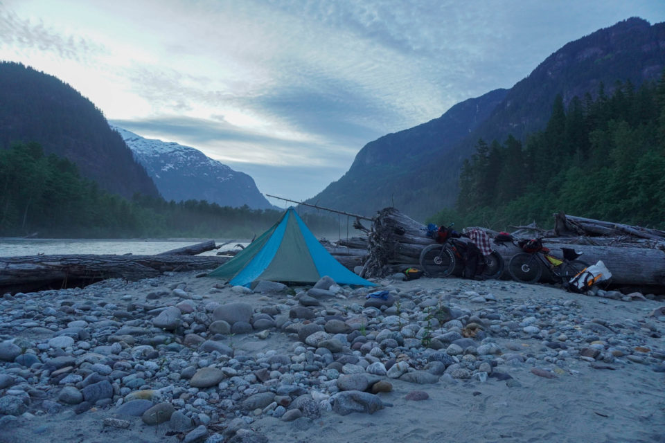
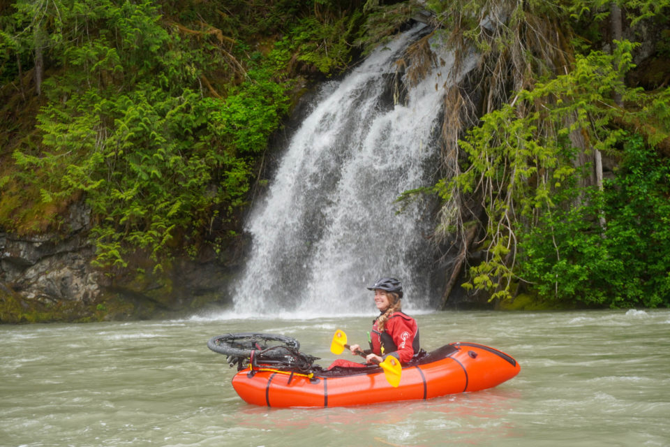
The Saw̓pa (Cloudburst Mountain) Divide is an overnight bikerafting route that travels through the traditional territory of the Sḵwx̱wú7mesh Úxwumixw (Squamish Nation) along two beautiful and verdant river valleys that abound with history. The riding is a mix of gravel roads, trails, and two very short paved sections, with a stunning Class II float back to the starting point.
The route is taken from https://bikepacking.com/