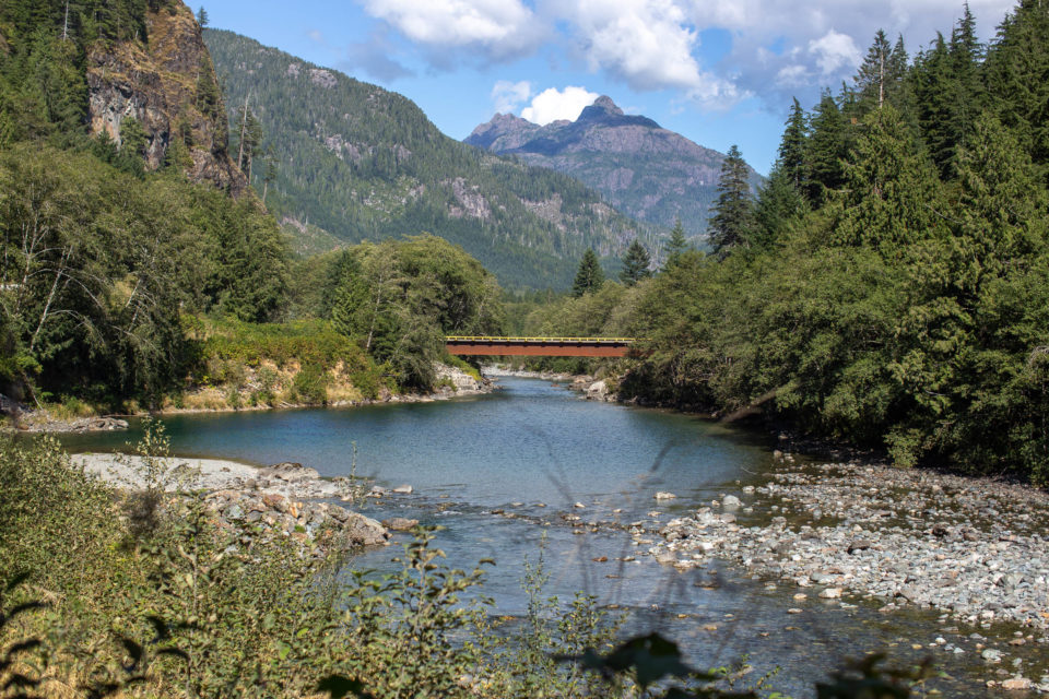
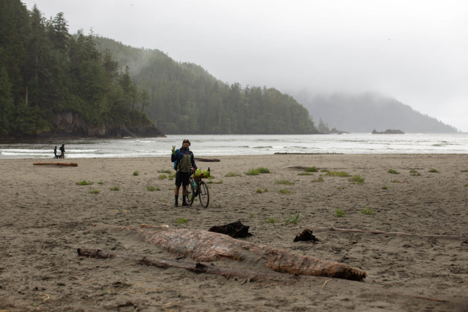
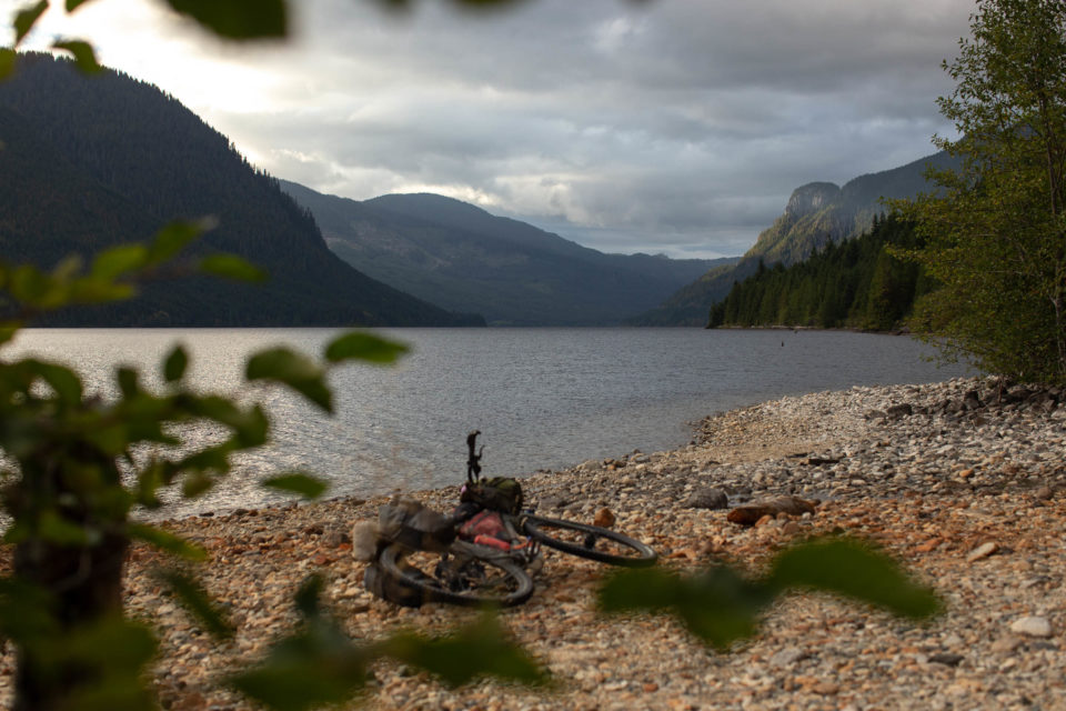
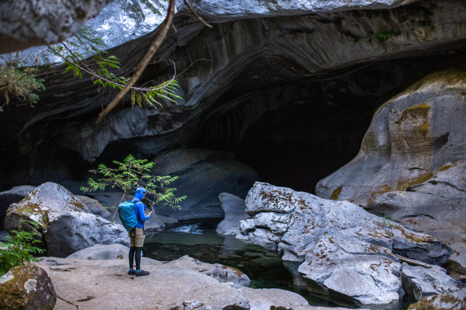
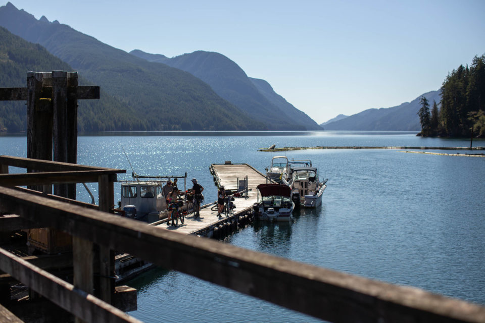
The Tree to Sea Loop is an incredible 1,000-kilometre gravel loop around the lesser-known areas on the north end of Vancouver Island, British Columbia. The route links massive valleys, oceanside villages, towering coastal mountains, and deep fjords via an impressive patchwork of forest service roads. Aside from some of the best gravel riding on the coast, there are opportunities for spelunking, whale watching, waterside camping, and much more...
The Tree to Sea Loop is an incredible 1,000-kilometre gravel loop around the lesser-known areas on the north end of Vancouver Island, British Columbia. The route links massive valleys, oceanside villages, towering coastal mountains, and deep fjords via an impressive patchwork of forest service roads. Aside from some of the best gravel riding on the coast, there are opportunities for spelunking, whale watching, waterside camping, and much more…